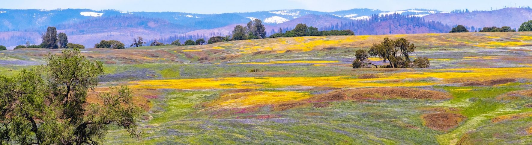

DEDICATED TO THE COMMUNITIES OF
CALIFORNIA'S SIERRA NEVADA
Sierra Forward’s mission is to encourage and support candidates that will work towards mainstream solutions and fact-based decision making to address the needs of our Foothill and Mountain communities. We encourage engaging in the many things that unite us while speaking honestly and with respect about those that divide.

SIERRA FORWARD TOWN HALL
WITH REP. ERIC SWALWELL
One of Sierra Forward’s oldest and best friends, Rep. Eric Swalwell (D CA 14th CD), will be our featured guest in a Sierra Forward Town Hall on the evening of Tuesday, July 23, beginning at 6pm PDT.
Read More
FREE AND INDEPENDENT PRESS
The very notion of a free and independent press is under attack globally and nationally..
Read More
JESSICA MORSE – RECORDING
Jessica Morse is skilled, savvy, and more prepared than ever to defeat Kevin Kiley in the race for Congressional District 3..
Read More
IT WAS ALL A LIE – VIDEO
Sierra Forward Town Hall presentation of “It Was All a Lie’ by Stuart Stevens. “It Was All a Lie is not just an indictment of the Republican Party.
Read More
FUNDRAISING EVENT FOR JESSICA MORSE
FEATURING ADAM SCHIFF
Jessica Morse and Adam Schiff joined forces for a day of extraordinarily successful fundraising events in Roseville and Truckee on June 30. See pictures of this fun event by clicking Read More!
Read More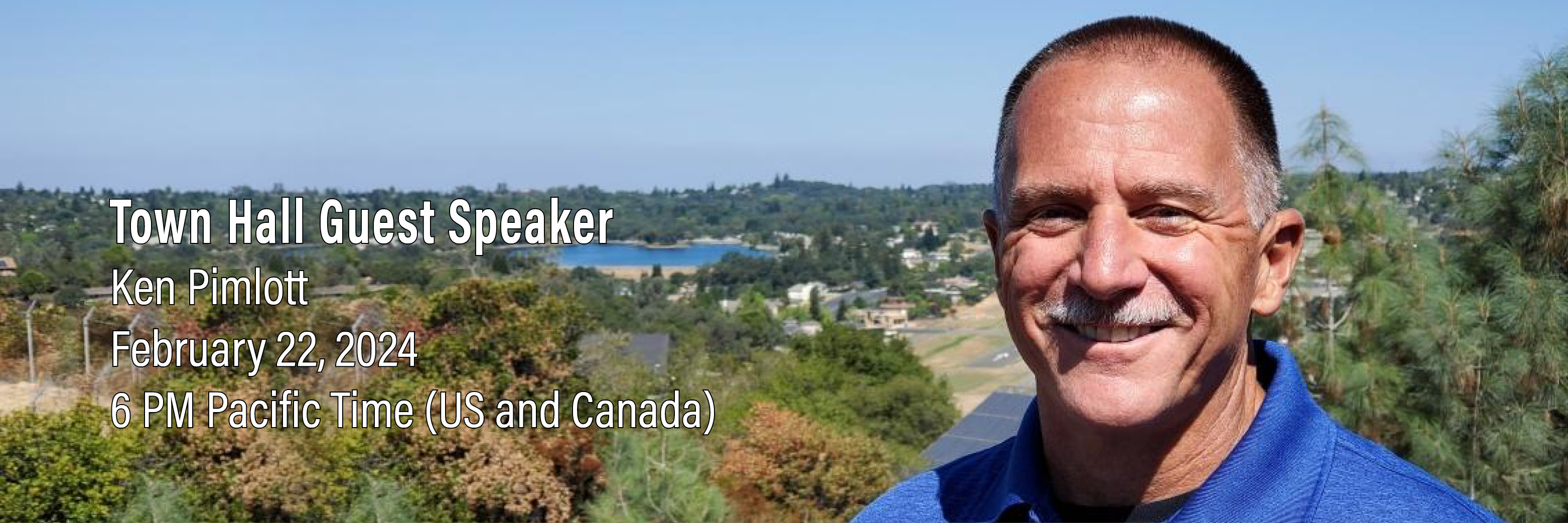
KEN PIMLOTT – RECORDING
Learn from one of California’s foremost authorities on the topic of Wildfire Strategy, former CALFIRE Chief, Ken Pimlott..
Read More
RURAL URBAN RECORDING
Listen to the recording to hear an interesting discussion about RUBI’s plan to close the divide between urban and rural Americans with policies that create a level playing field for all.
Read More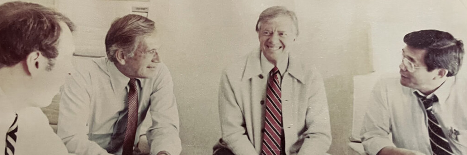
APPRECIATING AND HONORING FORMER PRESIDENT JIMMY CARTER
El Dorado County has much appeal and many charms — spectacular natural wonders, a rich and colorful history and many good and decent people. Since moving here from Washington, D.C., seven years ago, my wife Shari and I have had occasion to enjoy all of that and more.
Read More